
Textbook maps have a major limitation: they are entirely flat, static, and devoid of human context. Memorizing a list of sovereign capitals or drawing national borders on a blank sheet of paper rarely fosters a genuine appreciation for the diverse world we live in. Without cultural immersion, topographical data, and localized narratives, geography can feel like a dry exercise in data memorization.
Fortunately, modern mobile applications have fundamentally transformed global exploration. By integrating high-resolution satellite imagery, gamified deduction mechanics, and augmented reality, developers have built experiential toolkits that allow users to travel the globe virtually. To determine which platforms offer the most authentic and educational journeys, a series of evaluations were carried out on current smartphone applications. The selection criteria focused on historical accuracy, visual fidelity, data-driven mapping, and the quality of cultural context provided.
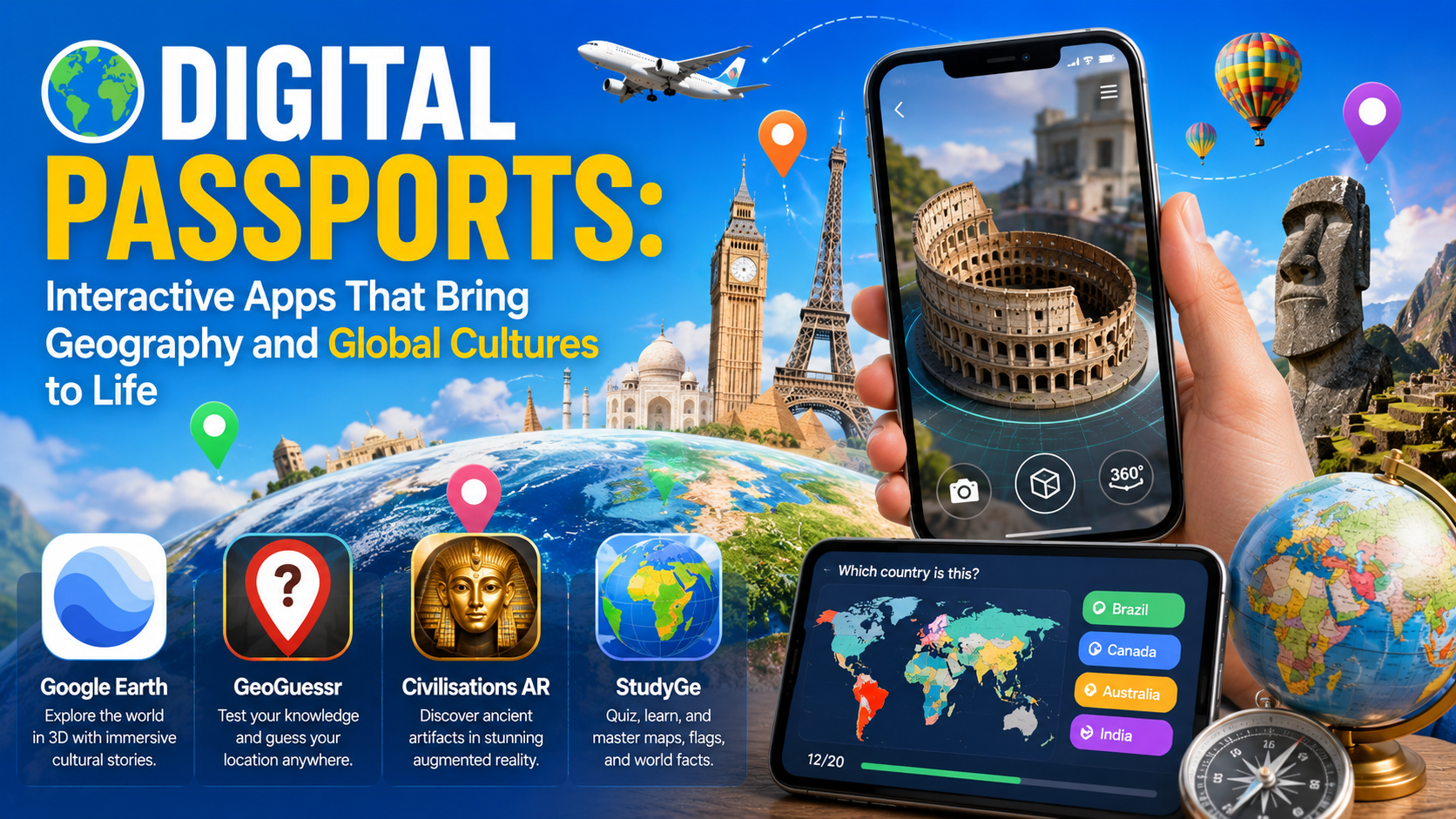
The following interactive applications represent the most effective tools for charting the globe and discovering its varied cultures.
Availability: iOS, Android, Web
Pricing Model: Completely Free
Google Earth remains an unrivaled technological achievement in virtual cartography. When testing the mobile interface, the "Voyager" feature proved to be the absolute standout asset for cultural exploration. Instead of wandering randomly through satellite patches, Voyager provides curated, interactive guided tours developed in partnership with leading scientific organizations. We explored deep inside traditional Japanese architecture and followed migration patterns across the African savannah. Tapping into the integrated Street View mode provides seamless 360-degree ground-level perspectives, letting you pivot from an aerial view of a remote mountain range directly onto a busy pedestrian street in Rome.
Pros: Immersive, high-resolution 3D terrain mapping and unparalleled planetary coverage. The collaborative project tools make it easy to drop custom placemarks, notes, and photos into personalized maps.
Cons: The app demands immense processing power and a high-speed data connection; it can rapidly deplete phone battery and trigger performance stuttering on older devices. Users frequently report occasional app crashes when loading complex 3D cities.
Availability: iOS, Android, Web
Pricing Model: Free basic download with restricted daily play; Pro subscriptions start at approximately $4.50/month.
GeoGuessr turns global exploration into an intense, highly addictive deduction game. The premise drops you into a random, unnamed street view location somewhere on earth, challenging you to pinpoint your exact coordinates on a world map solely using environmental clues. During active testing, we found ourselves analyzing architectural styles, tracking the side of the road cars were driving on, and translating microscopic text on highway signs or utility poles. It forces you to look intensely at the cultural and physical fingerprint of a place, turning casual players into sharp observers of international infrastructure, soil color, and local languages.
Pros: Highly engaging gamification mechanics that train your eye to recognize minor regional differences in terrain, infrastructure, and culture. Excellent competitive multiplayer and daily community challenges.
Cons: The monetization structure is highly restrictive for free users, capping gameplay limits strictly unless you buy a Pro subscription. Dropping into extremely desolate dirt roads with miles of identical vegetation can occasionally lead to repetitive, frustrating rounds.
Availability: Android
Pricing Model: Completely Free
Developed by the BBC, Civilisations AR bridges the gap between geography and ancient history by turning your living room into an interactive museum of global heritage. The core feature that works beautifully is the augmented reality artifact rendering. By scanning a flat surface with a smartphone camera, users can generate highly detailed, 3D digital replicas of monumental global treasures, such as an Egyptian sarcophagus, a Greek helmet, or ancient masterworks from the Americas. The app includes an "X-Ray" feature that lets you peer beneath the physical outer layer of artifacts to discover hidden details, while accompanying high-fidelity audio narratives explain the geographical and cultural significance of where the item was uncovered.
Pros: Stunning visual fidelity and museum-grade educational annotations backed by rigorous historical research. The geographic tracking map allows you to locate the exact historical origin of each piece.
Cons: The app has a relatively small catalog of artifacts, meaning users can exhaustively explore all available content within a few hours. The AR placement mechanism can be finicky in low-light environments.
Pricing Model: Free base version with ads; Premium account upgrades cost around $9.99/year.
If your goal is to lock down the foundational facts of global geography, StudyGe provides the most efficient digital atlas and quiz setup on mobile. The app splits testing across country locations, capitals, flags, and administrative borders. When testing the app to memorize political boundaries, the atlas mode proved highly effective; tapping any nation pulls up detailed dossiers highlighting population, GDP, form of government, and primary languages. The app avoids being a boring flashcard machine by tracking your response times and accuracy on an interactive globe, helping you visually pinpoint exactly which continents or regional borders need more practice.
Pros: Clean, intuitive UI that makes the rote memorization of borders, capitals, and flags engaging. Users can adjust controversial or disputed geopolitical borders in the settings menu to match different regional educational standards.
Cons: The free tier is saturated with disruptive advertisements that break the flow of study sessions. Several historical and demographic data tables inside the app's country profile cards haven't been updated since 2020.
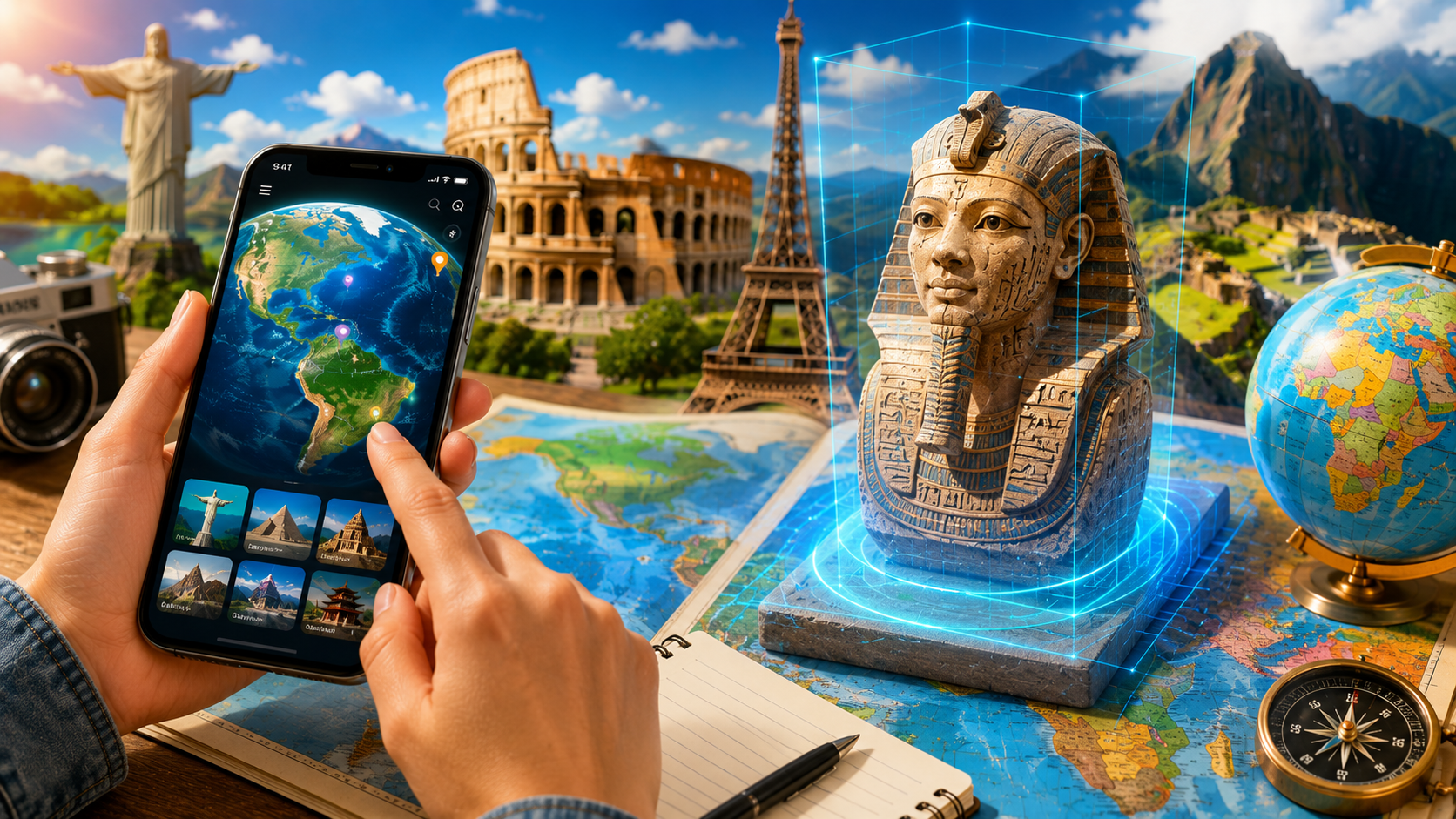
The ideal application depends entirely on what kind of global explorer you want to be:
For students or professionals who need to rapidly internalize political maps, national flags, and macro-level country statistics, StudyGe provides an excellent, highly structured digital study template. If you want to connect geography directly to ancient artifacts and art history, Civilisations AR offers an exceptional, albeit brief, augmented reality educational experience.
However, for sheer cultural immersion and comprehensive planetary scale, Google Earth is the definitive heavyweight champ. The fluid ability to cross-reference satellite topography, curated historical narratives, and actual street-level perspectives makes it an unmatched window into the physical layout and daily life of human civilizations. It is the closest thing to holding a functional digital passport directly on your mobile device.