
For many older adults, public transportation isn't just convenient—it's essential.
But anyone who has navigated a busy subway station or unfamiliar bus transfer knows the challenge. An elevator that's suddenly out of service. A route that looks simple on a map but includes three flights of stairs. A crowded platform with little seating and even less information.
What should be a straightforward trip across town can quickly become stressful.
For seniors who use wheelchairs, walkers, canes, or simply prefer routes that minimize walking and physical strain, the difference between a good transit app and a great one can be enormous. Reliable accessibility information isn't a luxury. It's what makes independent travel possible.
With that in mind, we looked at several popular transit apps available on both iOS and Android, focusing on one question:
Which apps actually help seniors travel safely and confidently?
The best options offered real-time service updates, accessible route planning, readable interfaces, and practical navigation tools—not lifestyle content, social feeds, or unnecessary distractions.
Here are the three that stood out.
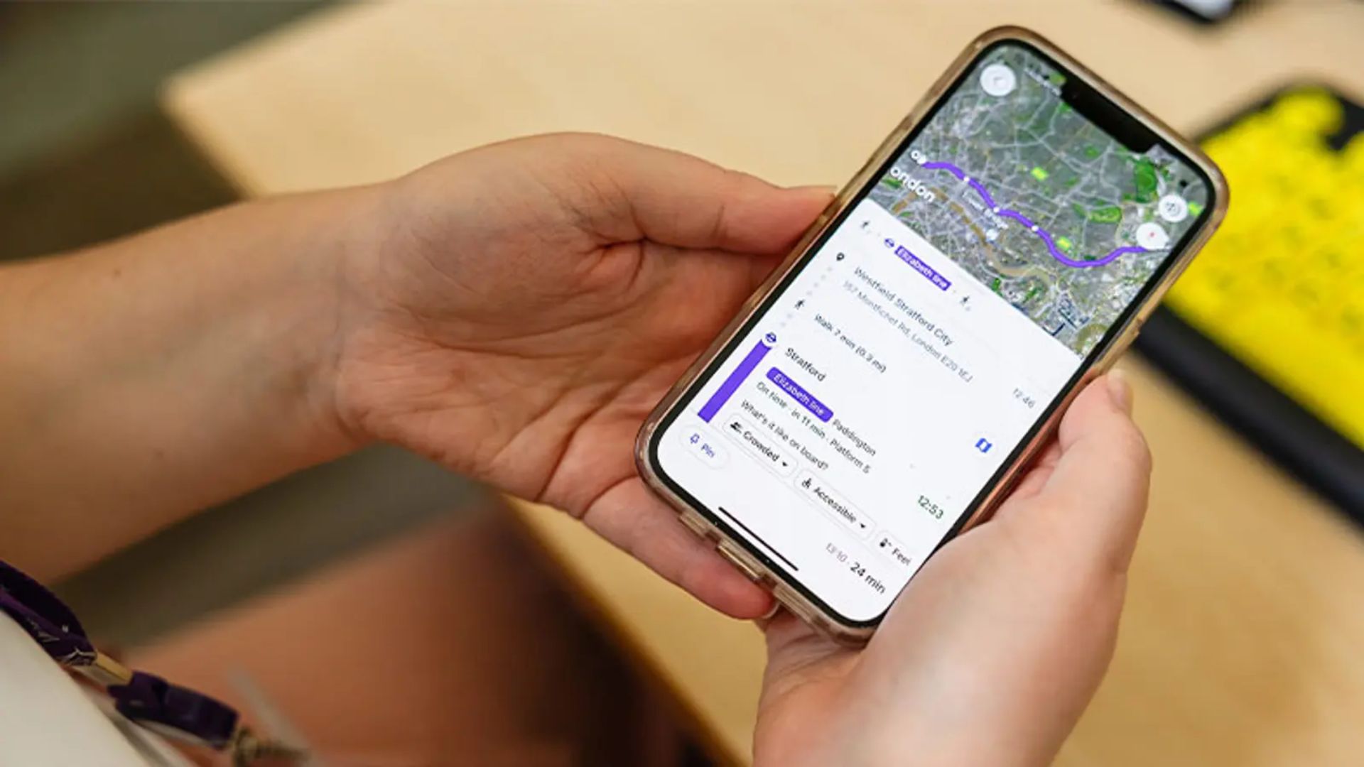
Available on: iOS and Android
Cost: Free; Transit Royale subscription unlocks additional features
Transit has built a loyal following for a simple reason: it gets right to the point.
Open the app, and nearby transportation options appear almost instantly. No clutter. No complicated setup. Just useful information when you need it.
Where Transit really shines is accessibility customization.
Instead of assuming every rider moves at the same pace, the app lets users adjust their walking or rolling speed. It also prioritizes accessible journeys, helping avoid routes that involve stairs or lengthy transfers.
For seniors, that level of personalization matters.
One particularly useful feature is GO Mode. Once you're on your trip, the app actively tracks your progress and provides clear alerts when your stop is approaching. No constantly checking the screen. No guessing whether you've gone too far.
Whether you're riding a bus, train, or subway, GO Mode acts almost like a quiet travel companion.
Excellent support for screen readers such as VoiceOver and TalkBack
Accessibility-focused route planning with step-free options
Clean, distraction-free interface
Clear indicators for wheelchair-accessible vehicles and stations when local agencies provide the data
Helpful visual and audio stop notifications
Some advanced features are reserved for Transit Royale subscribers
Crowdsourced vehicle tracking can occasionally be less accurate in suburban or lower-density areas
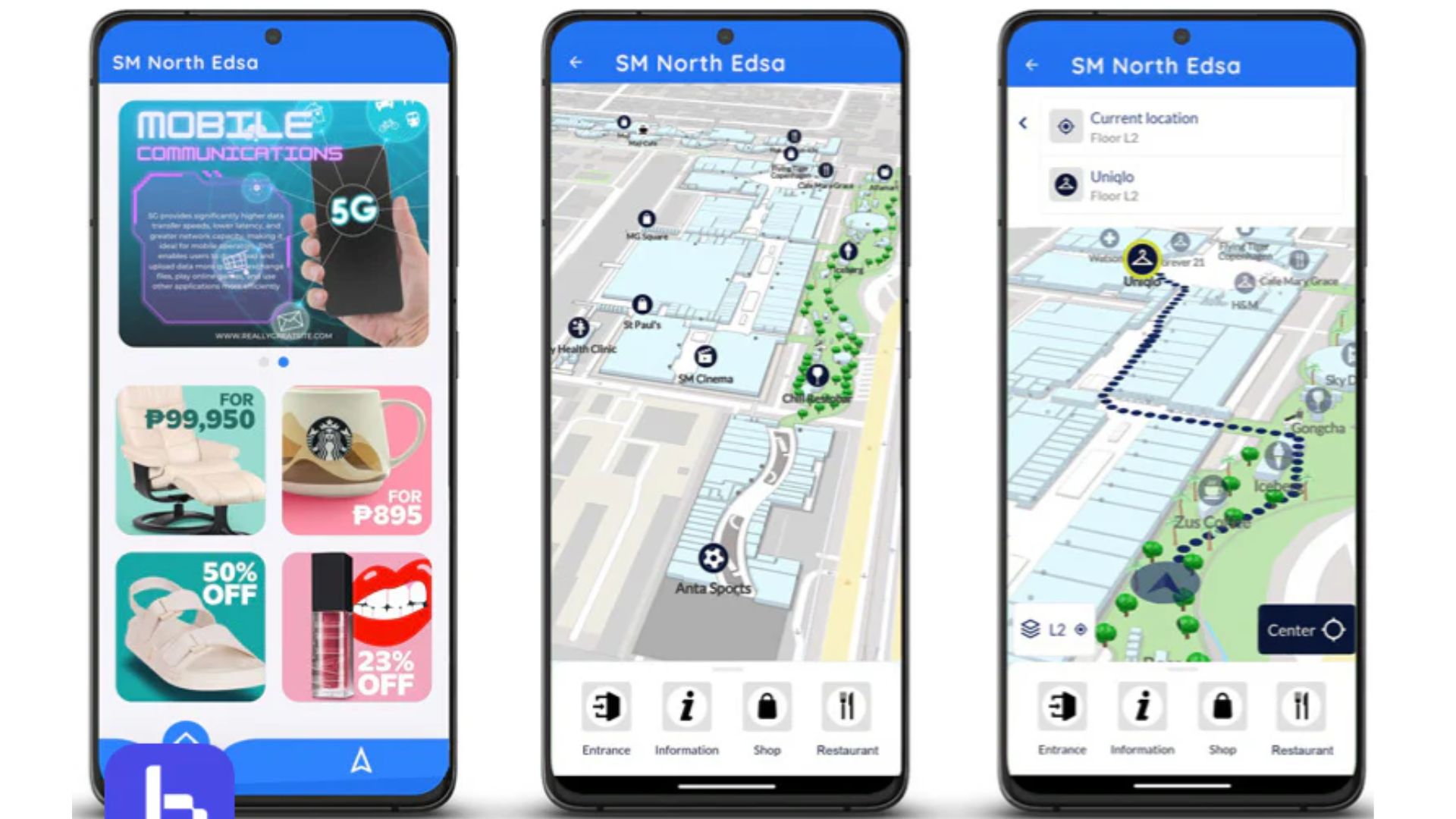
Available on: iOS and Android
Cost: Free with ads; premium version available
If Transit specializes in simplicity, Moovit specializes in depth.
The app pulls together data from buses, trains, subways, ferries, and other transportation services across hundreds of cities, making it one of the most comprehensive transit planners available.
Many accessibility features feel like afterthoughts in mobile apps.
Not here.
Moovit handles larger text sizes exceptionally well. If you've already increased font size on your phone for easier reading, the app adapts without creating awkward layouts or cutting off important information.
That sounds like a small thing—until you've struggled to read tiny transit schedules while standing on a busy platform.
The route planner also supports wheelchair-accessible journeys and can steer riders away from stations lacking elevator access or intersections that create mobility challenges.
Another standout feature is its exit alerts. Instead of warning you at the last second, Moovit provides advance notifications, giving riders extra time to prepare before reaching their stop.
Larger touch targets make buttons easier to tap
Strong readability for users with vision challenges
High-contrast design improves map visibility
Detailed stop alerts help reduce missed exits
Extensive transit coverage across major cities
Advertisements in the free version can sometimes crowd the screen
Elevator and escalator outage information isn't always immediately visible
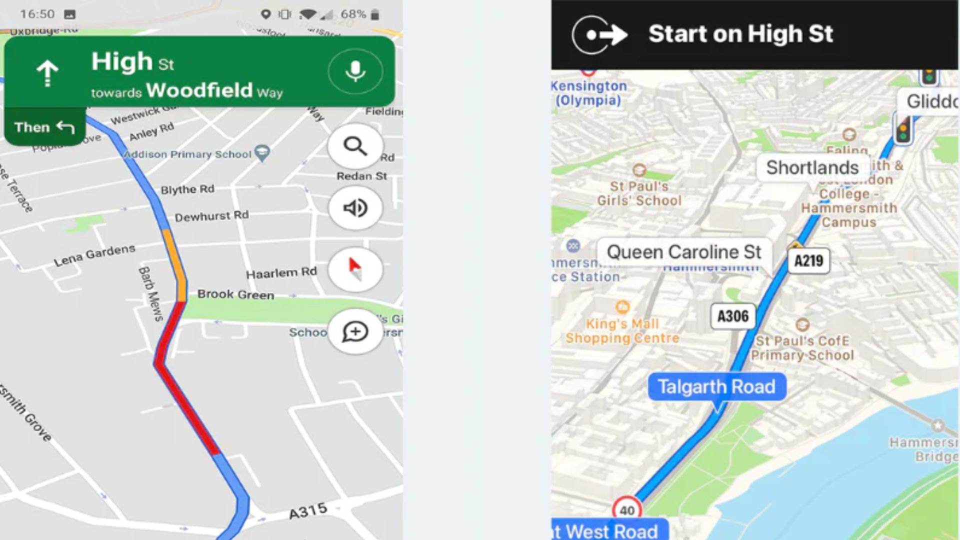
Available on: iOS and Android
Cost: Free
Most people think of Google Maps as a driving app.
For seniors navigating public transportation, however, it may be one of the most valuable accessibility tools available.
The feature that deserves the most attention is Google's wheelchair-accessible transit filter.
Turn it on, and the app automatically prioritizes routes that avoid inaccessible stations, stairs, and difficult transfers whenever transit agencies provide that information.
But what really sets Google Maps apart is something many people overlook: Street View.
Imagine needing to visit a new medical office across town.
Before leaving home, you can virtually inspect the bus stop, station entrance, sidewalk conditions, nearby benches, curb ramps, and building access points. That ability to preview an unfamiliar environment can eliminate a lot of uncertainty before the trip even begins.
For many seniors, that peace of mind is just as valuable as the route itself.
Completely free with no subscription requirements
Extensive transit and location database
Accessible-route filtering built directly into transit directions
Street View provides a visual preview of real-world conditions
Strong voice-command integration and navigation support
The sheer number of features can make the interface feel busy
Transit-specific accessibility alerts aren't always as prominent as they are in dedicated transit apps
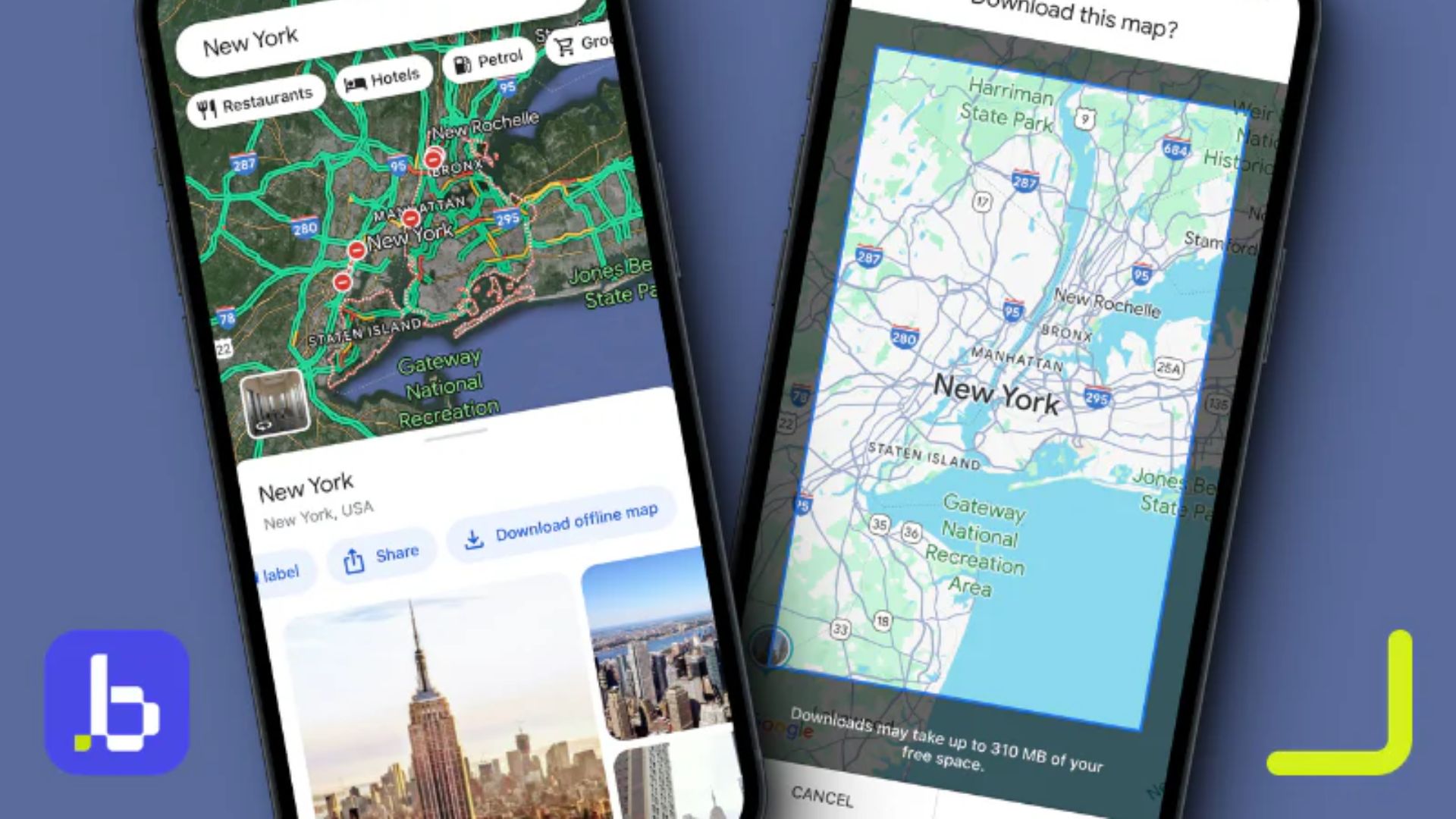
All three apps bring something valuable to the table.
Moovit excels at comprehensive trip planning and accessibility-focused design.
Google Maps offers unmatched geographic coverage and the ability to inspect a route before you leave home.
But for day-to-day transit use, Transit earns the top spot.
Its streamlined interface, step-free route filtering, customizable mobility settings, and highly effective GO Mode make it one of the easiest ways for seniors to navigate busy urban transit systems with confidence.
That said, the strongest setup may be using more than one app.
Many experienced riders rely on Google Maps to preview stations and surroundings, then switch to Transit for real-time navigation once the journey begins.
Together, they create a practical, reliable toolkit for getting around the city safely—without surprises, unnecessary stress, or avoidable barriers along the way.