
Free camping sounds simple in theory.
America's National Forests and public lands contain millions of acres where dispersed camping is permitted. Yet finding a location that is legal, accessible, safe, and suitable for an RV, van, truck camper, or tent can be surprisingly challenging.
Many first-time boondockers discover that not every dirt road allows camping, not every online recommendation is current, and not every scenic clearing is legally available for overnight use.
The best camping apps do more than simply drop pins on a map. They help travelers verify land ownership, read recent site reports, understand road conditions, and avoid costly mistakes.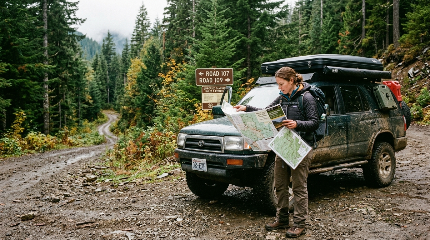
To identify the most useful tools available today, several camping and overlanding apps were evaluated using four criteria:
Accuracy of dispersed camping information
Public-land coverage
Quality of user reports and updates
Overall usefulness for trip planning
The following apps consistently delivered the strongest results.
Among experienced overlanders and long-term road travelers, iOverlander has become one of the most widely used tools for finding dispersed camping.
The app's greatest strength is its community-generated database. Users contribute campsite locations, road-condition reports, photos, cellular coverage information, and recent camping experiences.
During testing, many of the best dispersed camping locations in National Forests were identified through recent user updates rather than official sources.
The ability to see whether a site was recently accessible proved particularly valuable.
Extensive dispersed-camping database
Active community contributions
Helpful road-condition reports
Works well for RVs, vans, and overlanders
Available on both major platforms
Information quality depends on user submissions
Popular sites can become crowded
Some reports become outdated
Free download.
The Dyrt has evolved into one of the largest camping databases in the United States.
While it covers traditional campgrounds, it also includes dispersed camping locations, National Forest sites, Bureau of Land Management land, and free camping opportunities. During testing, the extensive review system helped separate genuinely useful sites from locations that looked appealing on a map but offered poor camping conditions.
The platform's trip-planning tools are especially useful for longer road trips.
Massive campsite database
Detailed reviews and photos
Strong filtering capabilities
Excellent trip-planning tools
Best features require a premium subscription
Some dispersed sites have limited information
Search results can be overwhelming
Free download with optional The Dyrt Pro subscription.
onX Offroad excels at answering a question many camping apps struggle with: "Can camping legally occur here?"
The app's detailed land-ownership maps help users identify National Forest land, Bureau of Land Management property, state land, private property boundaries, and access roads. During testing, this often prevented accidental trespassing and eliminated uncertainty about land status.
For dispersed camping, legal certainty can be just as important as campsite discovery.
Outstanding land-ownership maps
Excellent offline navigation
Detailed road and trail information
Strong public-land data
Less focused on campsite reviews
Subscription required for many features
Learning curve for new users
Subscription-based service with free trial options.
Campendium remains one of the most respected resources among RV travelers.
Its biggest advantage is review quality. Users frequently provide detailed information about road access, site suitability, noise levels, cellular coverage, and camping conditions.
During testing, Campendium often delivered more useful practical information than broader camping platforms.
For RV users, the cellular coverage reports alone can be extremely valuable.
Detailed user reviews
Strong dispersed-camping coverage
Excellent cellular-signal information
Popular among experienced RVers
Smaller database than some competitors
Some advanced functionality requires membership
Coverage varies by region
Free access with optional paid membership features.
Avenza Maps is not a campsite-finder in the traditional sense, but it proved surprisingly useful during testing.
The app allows users to download official National Forest maps, Motor Vehicle Use Maps (MVUMs), and public-land maps for offline use. These maps often identify roads where dispersed camping access is permitted and help users navigate remote areas without cellular service.
For travelers venturing deep into National Forest land, Avenza frequently became the most trusted navigation tool.
Excellent offline mapping
Supports official government maps
Useful in remote areas
Free app
Not a campsite-discovery platform
Requires map downloads and planning
Learning curve for beginners
Free app, with many free maps and optional paid map purchases.
For travelers specifically seeking legal and practical dispersed camping locations on public lands, iOverlander emerged as the strongest overall option.
Its combination of campsite locations, recent user reports, photos, access information, and community updates consistently made it the most useful single resource during testing.
However, no serious boondocker should rely on a single app.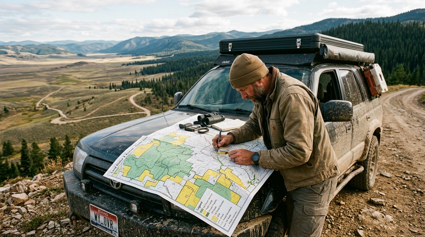
The most effective combination was:
iOverlander for campsite discovery
onX Offroad for verifying land ownership and legal access
Avenza Maps for offline National Forest navigation
The Dyrt for reviews and trip planning
Together, these apps provide a comprehensive toolkit for finding safe, legal, and enjoyable dispersed camping opportunities throughout America's National Forests and other public lands.
For RVers, van-lifers, overlanders, and tent campers pursuing free camping opportunities, that combination consistently produced the best results while minimizing unpleasant surprises after arriving at a remote campsite.