
Modern urban commuting is no longer just about getting from home to work.
Many commuters combine driving, trains, buses, subways, rideshares, bike-sharing systems, and walking segments in a single trip. Add construction projects, traffic accidents, transit delays, and unpredictable congestion, and even a routine commute can change dramatically from one day to the next.
The challenge is finding an app that not only shows current conditions but also delivers useful, personalized alerts before delays become a problem.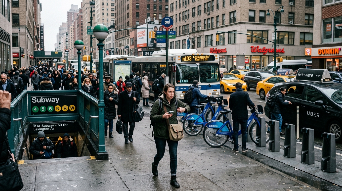
To identify the most useful commuting apps available today, several platforms were evaluated based on four criteria:
Real-time traffic and transit accuracy
Personalized commute alerts
Multi-modal transportation support
Overall usefulness for daily urban commuting
The following apps consistently delivered the strongest results.
Google Maps remains one of the most comprehensive commuting tools available.
Its strongest feature is the combination of driving, public transit, walking, cycling, and rideshare information inside a single platform. Commuters can save frequent trips, monitor traffic conditions, review transit disruptions, and receive information about expected travel times for regular routes. Google also supports saved trips and commute planning features that help users monitor recurring journeys between home, work, and other frequent destinations.
During testing, Google Maps consistently provided the most complete picture of complex city commutes involving multiple transportation modes.
Excellent traffic and transit coverage
Supports multimodal routing
Strong ETA predictions
Widely available in U.S. cities
Free to use
Transit detail varies by agency
Alert customization is less granular than some competitors
Crowding information is not available everywhere
Free.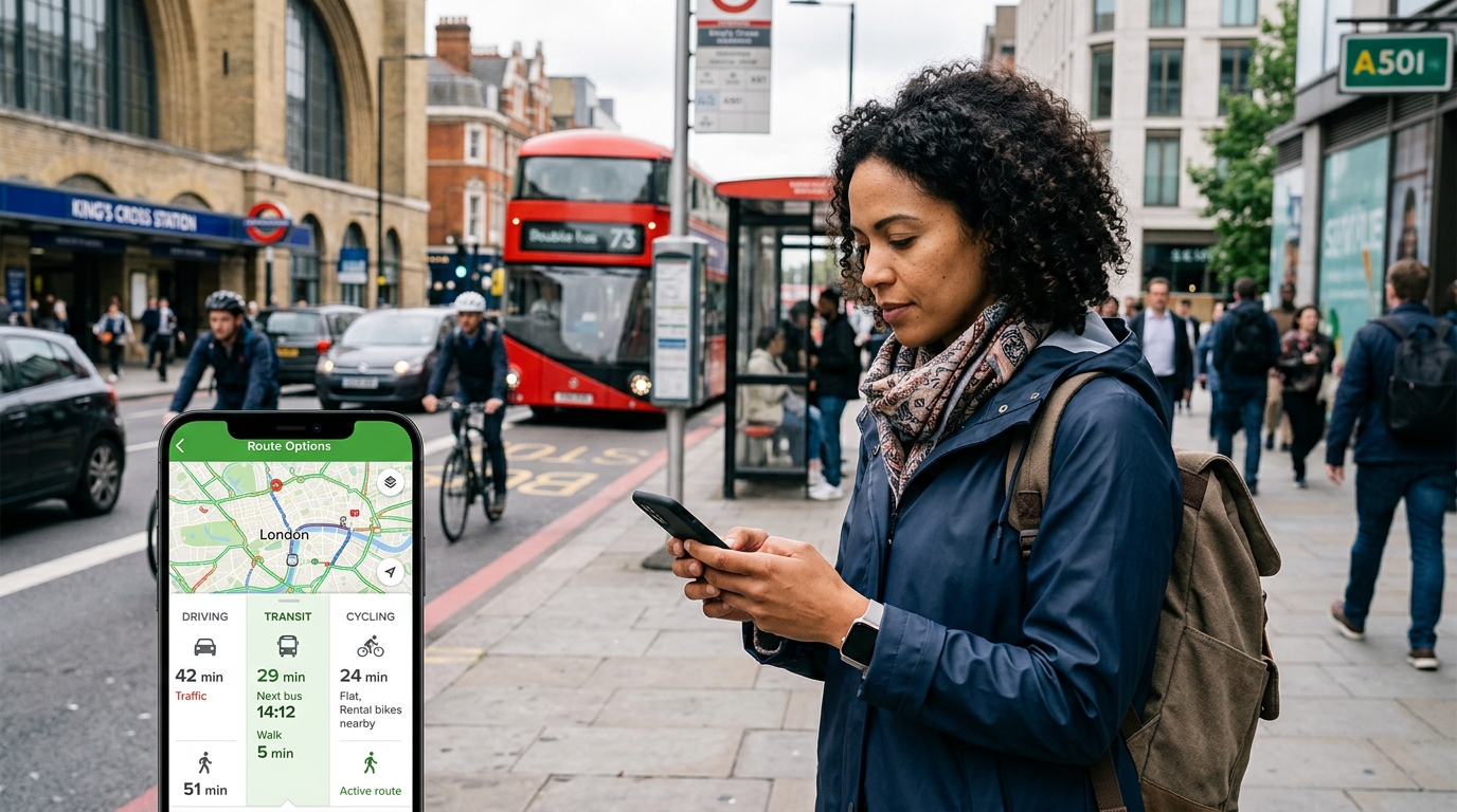
Transit is one of the strongest dedicated public-transit apps in North America.
The app specializes in real-time bus, train, subway, and light-rail tracking. It clearly distinguishes between scheduled arrivals and real-time vehicle data, helping commuters understand whether an arrival prediction reflects actual vehicle movement or published schedules. The app also surfaces cancellations, detours, and service disruptions when available.
For commuters who rely heavily on public transportation, Transit often provides more actionable information than general-purpose mapping apps.
Excellent real-time transit tracking
Clear delay and cancellation indicators
Strong support across major U.S. transit systems
Easy-to-read interface
Primarily focused on public transit
Some premium features require a subscription
Driving features are limited
Free download with optional subscription features.
Waze remains one of the best tools for commuters who primarily drive.
Its crowd-sourced reporting system quickly identifies accidents, hazards, congestion, road closures, and unusual traffic conditions. Waze also allows users to schedule future drives and receive reminders based on real-time traffic conditions, helping commuters determine when they should leave to arrive on time.
During testing, Waze frequently detected traffic problems before they appeared on competing navigation platforms.
Outstanding real-time traffic reporting
Strong rerouting capabilities
Useful departure-time notifications
Active driver community
Limited public-transit support
Urban navigation can occasionally favor aggressive shortcuts
Best suited to drivers rather than multimodal commuters
Free.
For commuters living in major metropolitan areas, Citymapper remains one of the most sophisticated trip-planning tools available.
Its greatest strength is multimodal route planning. The app combines subway, bus, commuter rail, walking, cycling, rideshare, and micromobility options into a single itinerary. During testing, Citymapper frequently suggested alternatives that traditional navigation apps overlooked.
In dense cities such as New York, Chicago, Los Angeles, Boston, Washington D.C., and San Francisco, this flexibility can significantly reduce travel times.
Excellent multimodal planning
Strong transit-focused design
Easy-to-understand route comparisons
Helpful disruption information
Coverage is strongest in major metro areas
Premium subscription available for advanced features
Less useful in smaller cities
Free download with optional subscription plans.
Moovit focuses heavily on public transportation and commuter alerts.
The app combines route planning, real-time arrivals, service alerts, and stop-level information across thousands of transit systems worldwide. During testing, it performed particularly well for commuters navigating unfamiliar transit systems or combining multiple transit operators within a single journey.
Its alert system was especially useful for tracking service disruptions and schedule changes.
Broad transit-agency coverage
Real-time arrival information
Useful service alerts
Strong route-planning tools
Interface can feel busy
Some features vary by transit agency
Driving information is limited
Free download with optional premium features.
For commuters managing complex urban travel patterns, Google Maps emerged as the strongest overall choice.
No other app combines real-time traffic monitoring, public-transit routing, multimodal trip planning, ETA forecasting, and commute management as effectively. Its ability to support both drivers and transit riders makes it particularly valuable for people whose daily travel patterns frequently change.
However, the most effective setup depended on the type of commute:
Google Maps for overall commute planning
Transit for real-time public-transit tracking
Waze for traffic-heavy driving commutes
Citymapper for complex multimodal city travel
Moovit for transit alerts across multiple agencies
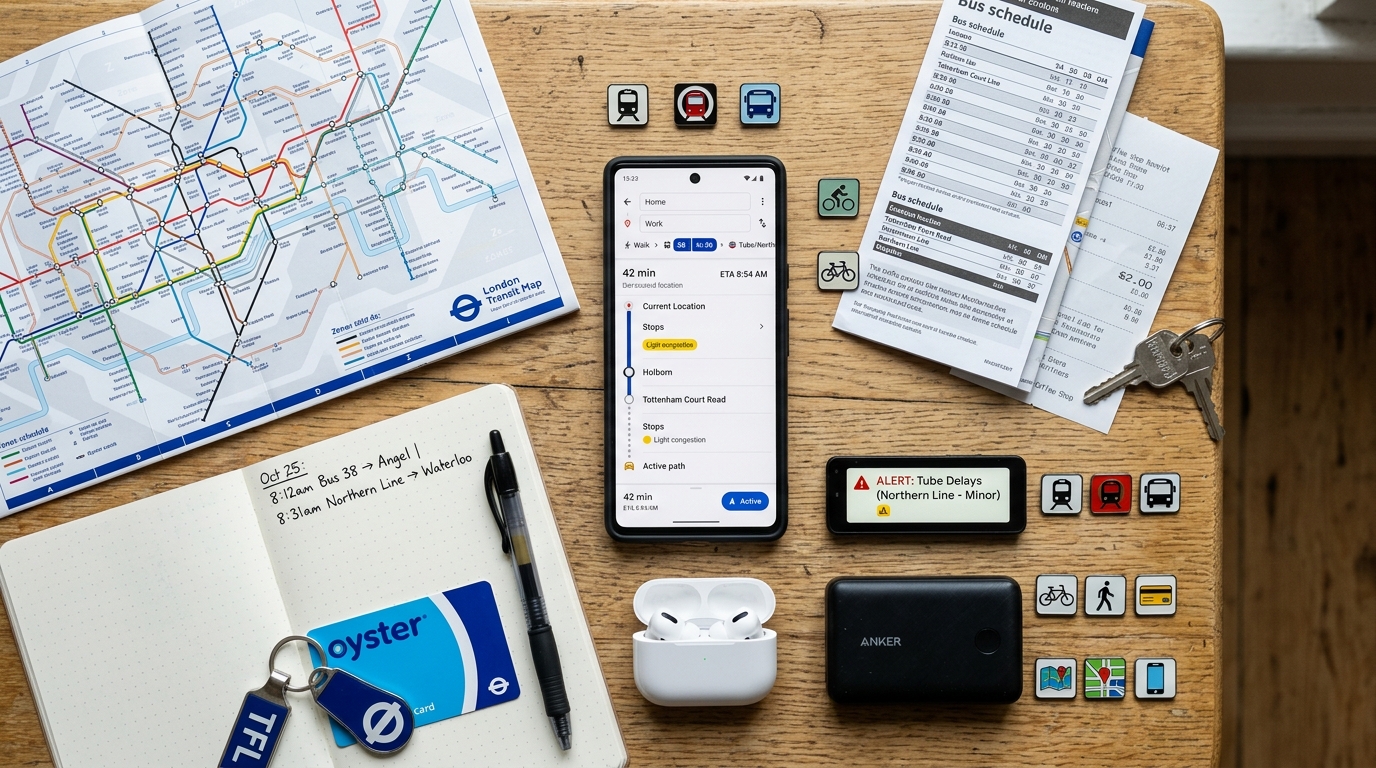
Together, these apps provide one of the most powerful toolkits available for navigating the realities of modern urban commuting. Whether the challenge is avoiding a highway backup, catching a delayed train, or coordinating multiple transportation modes across a large metropolitan area, this combination consistently delivered the most reliable results during testing.