
Most navigation apps are designed for drivers.
Cyclists face a completely different challenge. The shortest route is often not the safest route. A direct path may involve high-speed traffic, missing bike lanes, difficult intersections, poor pavement, or streets that feel uncomfortable after dark.
For riders commuting through cities such as Chicago, Portland, Seattle, Minneapolis, Denver, Washington D.C., New York, or San Francisco, route quality often matters far more than distance.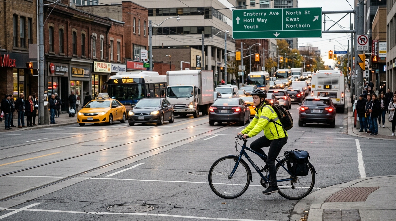
To identify the most useful cycling apps currently available, several popular navigation and cycling platforms were evaluated using four criteria:
Quality of bike-specific routing
Use of protected bike lanes and cycling infrastructure
Community-generated route intelligence
Overall usefulness for urban riders
The following apps consistently delivered the strongest results.
Komoot consistently produced some of the most cyclist-friendly routes during testing.
Rather than simply adapting car navigation for bikes, Komoot actively prioritizes cycling infrastructure, quieter streets, bike paths, and recreational routes. The route-planning system also provides detailed surface information, elevation data, and road-type breakdowns.
For riders exploring unfamiliar cities, this additional context proved extremely valuable.
Excellent bike-specific navigation
Detailed route-surface information
Strong route-planning tools
Helpful voice navigation
Available on both major platforms
Some advanced features require premium purchases
Route quality depends on local mapping data
Less focused on real-time urban conditions
Free download with optional map purchases and premium subscription plans.
Ride with GPS excels when route quality matters more than simplicity.
The app provides powerful route-planning tools, turn-by-turn navigation, elevation analysis, and access to a large library of community-created rides. During testing, many of the best urban routes came from experienced local cyclists who had already refined and shared them.
For riders seeking low-stress alternatives to major roads, community knowledge often proved more valuable than algorithmic routing alone.
Outstanding route-planning capabilities
Large community route database
Excellent navigation features
Strong support for long-distance rides
Learning curve is steeper than competitors
Some premium features require a subscription
Can feel complex for casual riders
Free download with optional subscription plans.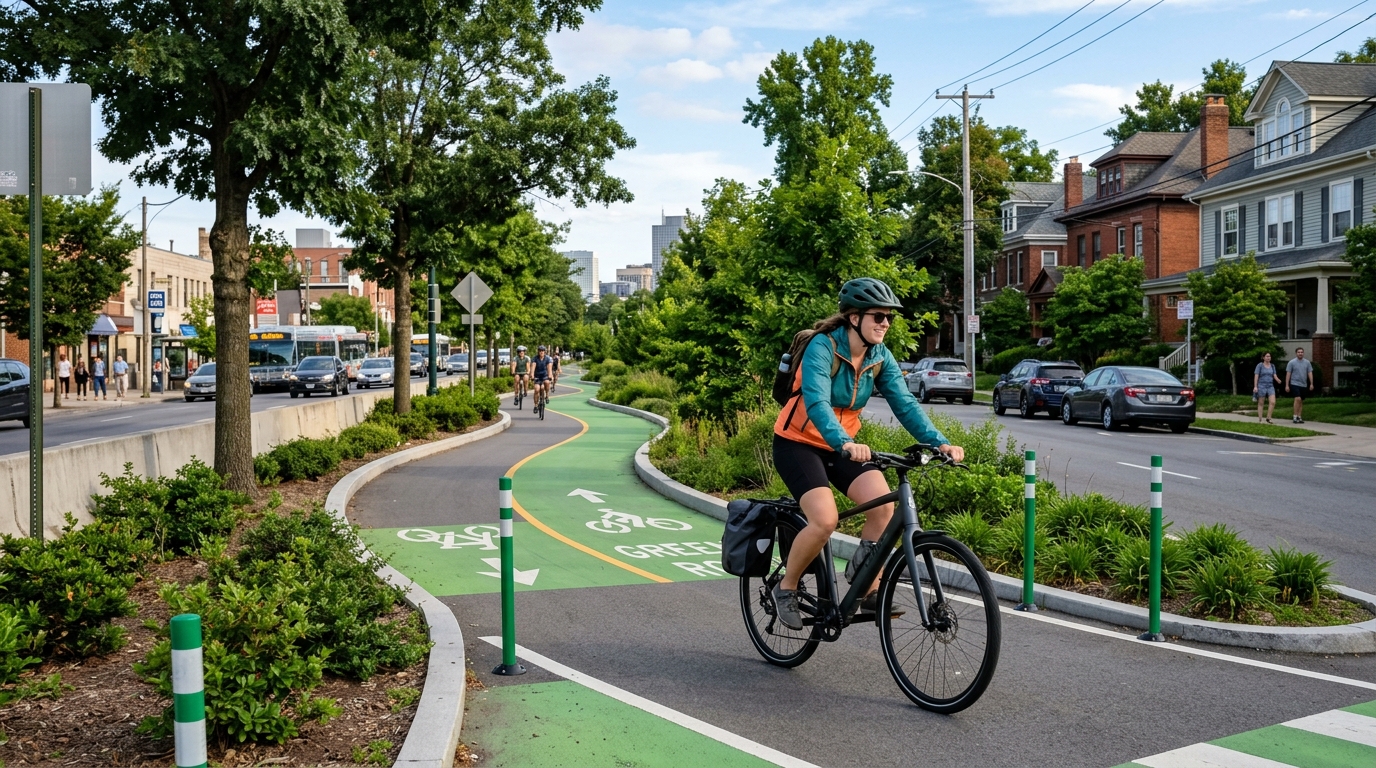
Most people know Strava as a fitness platform, but its route-discovery tools have become increasingly useful for urban cyclists.
The app's greatest strength is popularity data. By analyzing where large numbers of cyclists actually ride, Strava's heatmaps help identify roads, trails, and bike corridors that local riders consistently prefer.
During testing, this often revealed safer and more practical routes than standard mapping services.
Massive cycling community
Popularity-based route insights
Excellent ride tracking
Strong route-discovery features
Safety is inferred rather than explicitly measured
Premium features require a subscription
Less focused on beginner cyclists
Free download with optional subscription plans.
Google Maps remains one of the most accessible cycling tools available.
Its bicycle-navigation mode includes bike lanes, bike-friendly roads, shared-use paths, and elevation information in many U.S. cities. During testing, it performed particularly well for quick urban navigation when riders needed immediate directions.
While it lacks the cycling depth of specialized platforms, its convenience remains difficult to match.
Free and widely available
Easy-to-use interface
Strong city coverage
Real-time navigation
Limited cycling-specific detail
Less route customization
Infrastructure data varies by city
Free.
Pointz was created specifically to help cyclists find more comfortable routes.
Instead of optimizing for speed, the app allows users to select routes based on comfort level and road stress. During testing, it frequently avoided roads that experienced cyclists might tolerate but newer riders would likely find intimidating.
For urban commuters and casual cyclists, this comfort-focused approach proved genuinely useful.
Designed around cyclist comfort
Avoids high-stress roads
Beginner-friendly approach
Community-informed routing
Coverage quality varies by city
Smaller user base than major competitors
Routing data is still expanding
Free.
For cyclists prioritizing safer urban navigation, Komoot emerged as the strongest overall option.
Its combination of bike-specific routing, detailed road information, path prioritization, and route-planning flexibility consistently produced the most comfortable riding experiences across a variety of American cities.
However, no single app perfectly solves urban cycling safety.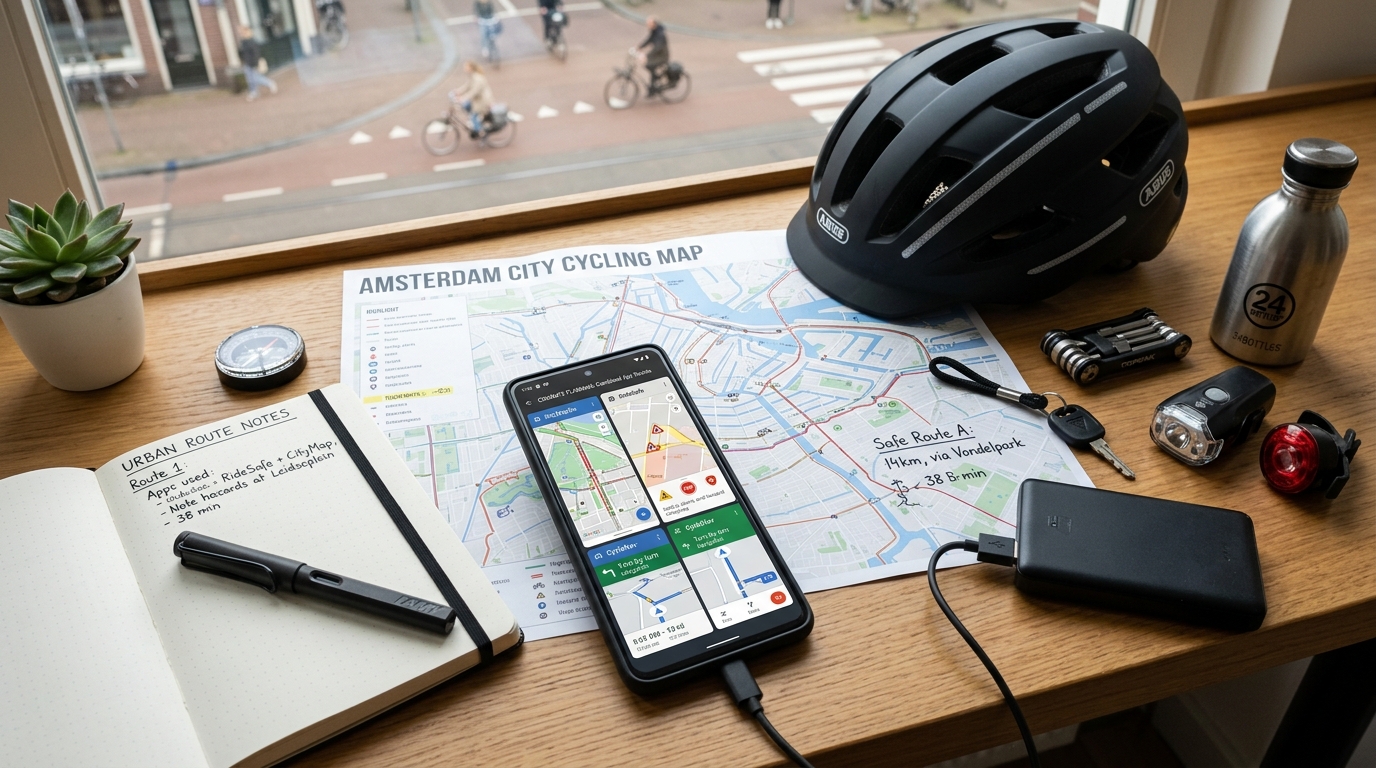
The most effective combination during testing was:
Komoot for route planning and navigation
Pointz for identifying lower-stress streets
Strava for understanding where local cyclists actually ride
Google Maps for quick real-time navigation
Together, these apps provide a far more complete picture of urban cycling conditions than any individual platform.
For riders seeking bike lanes, quieter streets, multi-use trails, and routes that generally feel safer and more comfortable, this combination currently offers one of the strongest toolkits available in the United States.